News
13.01 2021
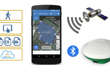
Measurement and precise marking of fields for drawing up an electronic map of an agricultural enterprise

Reliable data on the area of cultivated fields is the basis for effective land bank management. They are important not only for high-quality cadastral registration, but also for determining the amount of seeds, fertilizers, plant protection products, fuel and other resources used in field work. Knowing the actual cultivated area makes it possible to correctly calculate the amount of costs and avoid unjustified costs even at the planning stage.
03.12 2020
Verification of lease agreements for compliance with data in the State Register of Property Rights

Do you keep records of your land bank in Excel format? Make changes in electronic documents from paper copies of cadastral lease agreements? How long have you checked the information with the State Registers? Get the Disagreement Protocol from Soft.Farm, which will compare the available information with the data from the Registries! Information in the State Geocadastre is constantly changing and supplemented, so it is very difficult to keep documentary information up to date.
12.11 2020
Weather conditions must be taken into account and not allowed to affect the harvest

Agriculture is one of the main consumers of meteorological information and is highly dependent on weather conditions. Any farmer knows how much soil and air humidity, the amount of precipitation, light, heat have a strong impact on productivity, and how necessary a comprehensive analysis of causal relationships and principles describing the influence of the state of the atmosphere, plants and soil on various aspects of agricultural production.
05.11 2020
Presentation of the system for planning field work and calculating the cultivated area according to GPS monitoring data

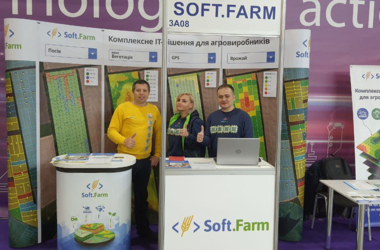
The international agro-industrial exhibition «InterAGRO 2020» is over. The event was held in strict observance of anti-epidemic restrictive measures. During the three days of its work, visitors could not only watch and test all the latest novelties, but also actively participate in the business program, which included industry conferences and seminars. The specialized exposition of digital technologies and smart solutions in agribusiness «IT-Corner 2020», as always, was held in the open-space format.
22.10 2020
How to measure the area of a field and create an electronic map of fields in shape, kml or plt format

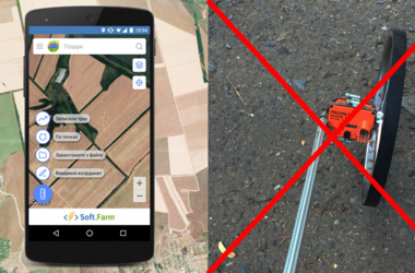
Field area measurement is based on the process of collecting raw land bank data. There are often cases when information from the cadastral map or the area prescribed in lease agreements is used for calculations. The reliability of these data does not raise any doubts, however, as a result, the agricultural enterprise receives a legal area, which in fact has little in common with the size of the actually cultivated land.