Information system of modern agronomy Soft.Farm
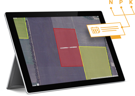
Land Bank
Accounting of land lease agreements, control of their validity terms and visual analytics of the units location on the field. Conducting audits of land plots and lease agreements.
Agrotechnology
Creating a task map for fertilization and application of the plant protection products, calculating the number of equipment refills with solution. Technological map is a calculation of the need for fuel and lubricant materials, fertilizers, plant protection products, seeds and wages.
GPS monitoring of equipment
Monitoring of equipment and fuel from various integrators (manufacturers) of GPS equipment in one system, automatic calculation of processed hectares and fuel consumed on the field, making up the tractor operator’s work ticket (duty detail) and downloading data into the accounting system.
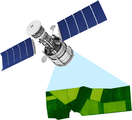
Satellite images, NDVI index
Our specialists monitor the high-quality spectral images made from Landsat8 and Sentinel2 satellites, determine the current NDVI index and create the database of your field images during the season. The obtained data will help identify the problem areas on the field for the implementation of precision farming.
Agroscouting
Inspection of the field and the state of crops using a mobile application that allows you to take photos and to record GPS coordinates directly on the field; when the device is connected to the Internet, the inspection results will be downloaded to the server. Such inspections will provide a quick search of the fields detecting the absence of the agronomist, fields with a high risk of the diseases; they will help you to track the phases of the plant growth and view videos from drones.
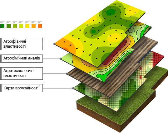
Cartograms
- Storage of data on agrochemical and agrophysical properties of the soil; creation of cartograms for visual analysis; shape files
- Soil density measurement
- Chemical analysis of soil
Meteorological observation
Weather data is collected from satellites, meteorological and public stations. All information for analysis is available on the Dashboard in convenient graphs and tables. When forming the field history, weather data help to analyze the factors that influenced yield, such as soil moisture and temperature, vegetation indices, which are available in one graph.
ON-LINE cost control
Plan-fact analysis of expenses for fields, crops or for the whole enterprise. Creation and printing of write-off certificates for plant protection products, fertilizers, fuel, seeds, wages and fixation of the harvested crop. Integration into the accounting system.
Seeding control
Remote control of the process of sowing and fertilizing. Creation of seeding cartograms, fertilizer application cartograms. Viewing, saving and processing of work results - overall quality, doubles, omissions, sowing density and seed distribution. Calculation of sown area. Accounting for the working hours of the seeder. Accounting for field work, seed consumption, fertilizers and auxiliary materials.
Become a modern agronomist, start using
FREE MODULES!
FREE MODULES!