News
01.07 2021
Development of the AgTech sector by the forces of business and agricultural higher educational institutions
Cooperation with the National University of Life and Environmental Sciences of Ukraine has brought its first positive results. During the current year, the Mechanical and Technological Faculty of this higher agricultural educational institution carried out not only preparation for the introduction of the component of the discipline «Precision Farming System» of the Soft.Farm information system into the educational process, but also passed the first training for users of our web service.
23.06 2021
Soft.Farm team takes part in the profile conference «Agromonitoring 2021»
Today, 06/23/2021, the Soft.Farm team takes part in the profile conference «Agromonitoring 2021», which is dedicated to resource-saving technologies and safety in agribusiness. The conference will consider modern solutions that allow farmers to monitor and control such important indicators as the state of crops and soils, the amount and feasibility of applying fertilizers and plant protection products, fuel consumption, movement of vehicles and movement of products at the enterprise, the analysis of which makes it possible to quickly respond to any change and make the right decisions.
14.06 2021
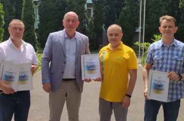
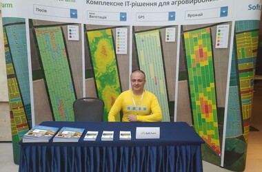
IT-solution for farmers: seeding control, GPS monitoring, land bank management and electronic field passport
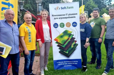
The «AGRO-2021» exhibition was very eventful, so four days of its work flew by in an instant. Many interesting meetings remain in our memories not only with the participants and organizers, but also with the guests of the exhibition, our partners and users of the Soft.Farm system. This business event is a unique platform for mutual exchange of technologies, experience and best practices of representatives of different regions of Ukraine and provides an opportunity for cooperation with countries — leaders of the world agricultural sector.
31.05 2021
«AGRO-2021»: Presentation of the portal of electronic data from the fields
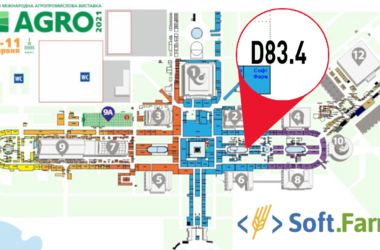
«AGRO-2021» is one of the main exhibition events in Ukraine, which will be held from June 8 to 11 at VDNG. This event is more than an agricultural exhibition, since it acts as an effective platform for improving production, introducing innovations and presenting new products in all areas of the agro-industrial complex. The Soft.Farm team will traditionally present its stand at «AGRO» to share updates and improvements implemented in our service.
19.05 2021
Land lease agreements — how to automate the creation process

Ukrainian legislation clearly regulates how the lease of agricultural land should be formalized. Depending on the forms of ownership of the leased land plots, various procedures for registering the rights of use are provided and a list of conditions and documentation necessary for this is provided. Before entering into a lease, tenants pay attention to many aspects. After clarifying the legal status of the plot, they must take into account whether the land is in permanent use or is leased.