News
30.07 2020
«AGRO-2020»: Presentation of a new concept «Calculation of the volume of work performed (hectares)" based on GPS-monitoring of agricultural machinery

«AGRO-2020» will take place! This international agro-industrial exhibition will traditionally be held at VDNG and will once again contribute to the implementation of innovative projects in all areas of the agricultural sector. The Soft.Farm team's stand will be very easy to find, because from 11 to 14 August it will be located at the entrance to Pavilion 9. We will be glad to every visitor, as we present a new function of our web service and want to share it.
16.07 2020
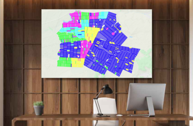
Cadastral map as a land bank management tool

The efficiency of the land bank management system, which is a key production asset, largely depends on the work of the land department, namely on the quality of the lease agreements and their further accounting in software systems. Today, the Soft.Farm web service has all the necessary tools for cadastral accounting, which includes visualization of farm fields and all cadastral plots located on the territory of the cultivated areas and beyond, a system of operational reporting in the context of fields, branches, village councils, tenants, as well as structuring of all lease agreements, indicated on the map with certain colors and markers in accordance with their type, status, validity period, distribution, etc.
08.07 2020
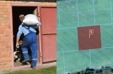
Mutual settlements with shareholders

Land is a national wealth that is protected by the state, and land relations govern the ownership, use and disposal of this resource. Most of the cultivated arable lands are leased shares, therefore, issues of responsible business relations between tenants and landlords are of high priority for any agricultural enterprise. The amount of the rent, as well as the terms and conditions of its payment are established by agreement of the parties and are prescribed in the lease.
02.07 2020
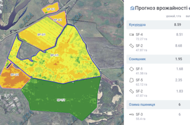
Yield forecast for each day

Crop yield is a comprehensive indicator, because, on the one hand, this is the initial information for building plans and forecasts, and on the other hand, it is one of the main resulting indicators of an agricultural enterprise. Prediction of yield based on satellite data is a promising direction, because the forecasting methods used are distinguished by their objectivity, efficiency and coverage of large territories.
28.05 2020
Cadastral map on iPhone for land bank management

The Soft.Farm team continues to develop the cadastral service and now, by popular demand, the «Kadastr UA» mobile application can be used not only on Android devices, but also on iOS! The new mobile application is compatible with iPhone, iPad and iPod touch and is supported starting from iOS version 12.0 and higher. The functional provides access to data from the Public Cadastral Map of Ukraine and with its help allows you to determine the location and boundaries of land on the map.