News
04.11 2021
New Level of Integration from John Deere Operations Center and Soft.Farm System
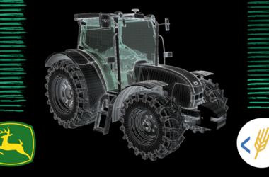
GPS-monitoring of equipment in agriculture is one of the most difficult types of monitoring, since it is not enough to determine the location of transport and establish fuel consumption for the quality work of an agricultural enterprise. This tool helps to monitor and optimize the performance of the entire farm. Thanks to it, you can reduce downtime, identify and eliminate various abuses of equipment and fuel, track the number of hectares worked on a specific site in a specific period of time, and also know whether the operator is following the planned route and at what speed he moves across the field.
04.10 2021
New concept for calculating cultivated hectares using GPS monitoring
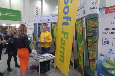
The IX International Agroindustrial Exhibition with a field demonstration of equipment «AGROEXPO-2021» was held from September 29 to October 2 in Kropyvnytskyi. More than 500 exhibiting companies took part in it, among which was the Soft.Farm team. «AGROEXPO» is one of the ten largest exhibitions in Europe and almost all well-known brands of agricultural machinery, both foreign and domestic, presented their equipment there.
20.09 2021
Field Operations Management: A New Approach to Planning, Control and Accounting
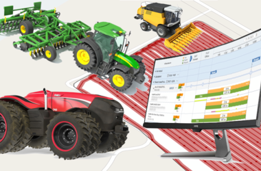
As practice shows, the use of GPS monitoring in agriculture is very effective. Direct control of movements and fuel consumption helps to exclude inappropriate use of machines and fuel drain, and also makes it possible to minimize non-production downtime of equipment and low efficiency of its work. In addition, GPS monitoring systems include the formation of databases on cultivated hectares, the distribution of fuel for moving and work, provide information on the performance of work in the context of agricultural operations, fields, equipment, machine operators and make it possible to introduce precision farming.
14.09 2021
«AGROEXPO 2021»: Presentation of a new concept for calculation of cultivated hectares using GPS-monitoring

Very soon, from September 29 to October 2, an international agro-industrial exhibition with a field demonstration of equipment «AgroExpo 2021» will be held. It will take place at the Exhibition Complex «AGROEXPO» at the address: Ukraine, Kropyvnytskyi, st. First Exhibition (Murmansk), 8. The exhibition promises to be special, because it gives visitors the opportunity to see and evaluate the level of development of the agro-industrial complex of both Ukrainian and world manufacturers.
07.09 2021
Mobile application for working with PCMU, SRRR and layers of the cadastral map of Ukraine
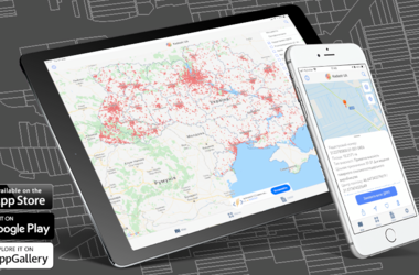
The digitalization of the land bank is an integral part of the inventory of the land of an agricultural enterprise. It helps to make the maintenance of cadastral records easier and more convenient. Land portals, web services, official electronic sources of cadastral data are used not only by agricultural firms and land surveyors, but also by individuals, lawyers, notaries, banks, real estate agencies, for which it is important to receive up-to-date information to ensure its reliability.