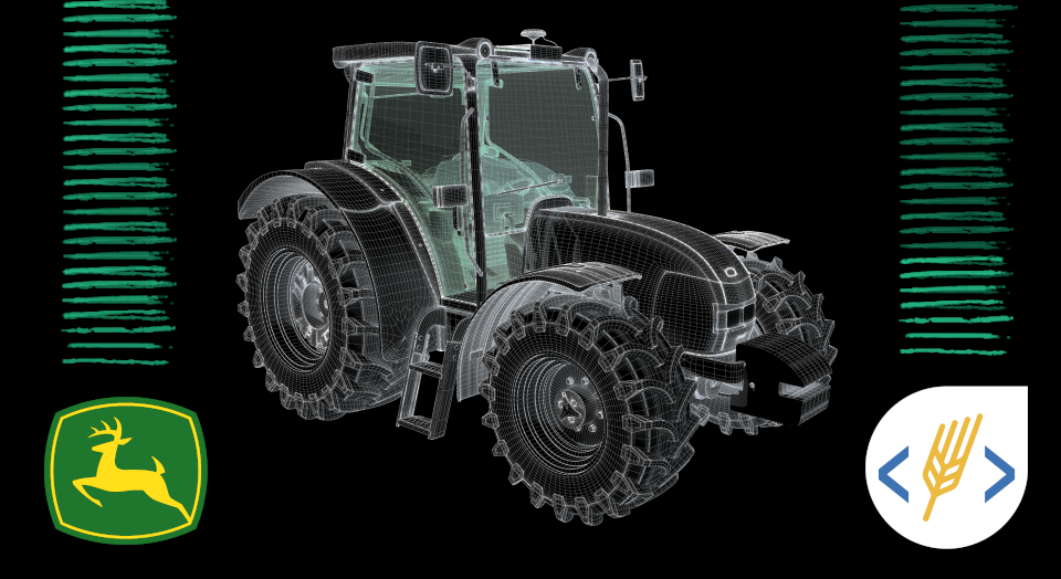
New Level of Integration from John Deere Operations Center and Soft.Farm System
04.11 2021

GPS-monitoring of equipment in agriculture is one of the most difficult types of monitoring, since it is not enough to determine the location of transport and establish fuel consumption for the quality work of an agricultural enterprise. This tool helps to monitor and optimize the performance of the entire farm. Thanks to it, you can reduce downtime, identify and eliminate various abuses of equipment and fuel, track the number of hectares worked on a specific site in a specific period of time, and also know whether the operator is following the planned route and at what speed he moves across the field.
The development of technology makes it possible to connect to data from any system. Today the Soft.Farm web service provides access to information from such GPS integrators as Wialon Hosting, Wialon local, Wialon Pro, SKT Globus, Control Plus, DozoR, FortMonitor, AutoGRAPH, Teletrack, Agrirouter or John Deere. After connection, to determine the productivity and efficiency of agricultural machinery, it is necessary to monitor a large number of parameters and performance indicators, which, due to the GPS signal error, may not always be accurate.
Soft.Farm has long been licensed by John Deere and all users who have access to MyJohnDeere can connect information about their equipment to our system. For them, the functions of monitoring equipment online and calculating the treated hectares in field work are available. GPS monitoring consists of two important parts — equipment and software. The Soft.Farm team has improved the work of its GPS-module and now it has the ability to receive information about the movement and operation of agricultural machinery directly from the John Deere system. This data is more accurate and of better quality in comparison with those transmitted by GPS services. All information comes without errors and inaccuracies, which allows you to calculate the exact number of hectares worked.
The data in the system will be the same as in the tractor itself. Through satellite communication, all information is transmitted to the server, from which at any time you can control and analyze the entire route of each piece of equipment both in real time and for any past periods. Such accuracy will help to track the level and consumption of fuel in motion and during standstill, consumption per 1 hectare of the treated area, time, place and volume of refueling and draining of fuel, downtime and work in the field, the area of all fields and cultivated areas. Any information received can be detailed, and all the results of the work of the equipment for the selected periods can be presented in a convenient form in the form of a report.
It is very important for farms to establish effective work in the field and control it in time. By analyzing the data obtained using satellite monitoring, it is possible to qualitatively plan the income and expenses of the entire agricultural enterprise. The use of modern technologies opens up fundamentally new development prospects and makes it possible to receive a well-deserved profit.
Back to news list