Community Land Management
16.11 2021

Many land surveyors are faced with the problem of constant changes in registration data in state registers. Corrections in the records of the State Register of Real Rights to Real Estate are made in the event of changes in the identification data of the subject of law, information about the immovable property, including changes in its technical characteristics, revealing a technical error in the records of the SRRR or documents issued using the software for maintaining this register (a typo, grammatical, arithmetic or other error), at the request of the owner or other beneficiary. As a result, up to 10 thousand data changes per month for each region can occur on the cadastral map!
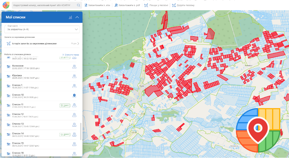
In order to keep abreast of the changes and efficiently manage your land bank, within the framework of decentralization, the united territorial communities have the opportunity to receive free extracts from the SRRR in PDF format. However, these files contain too much information that is difficult to organize and visualize on a map. This is easily handled by the Cadastre UA web service. Thanks to it, you can display the location of cadastral plots and upload existing extracts to the system. After loading, it will be possible to study in more detail the information received from the SRRR, sort the data according to the desired filter, and also export it in KML or Excel formats, which are more convenient to work with.

Since the registry is filling up very actively, it is simply unrealistic to track all adjustments in manual mode. This is especially true in cases when the UTC already has many formed lists with a large list of land plots. The Cadastre UA web service also solved this problem: it makes it possible to compare lists and compare past data with current ones. As a result, an act of disagreement is formed, thanks to which it is possible to identify the changes that have occurred.
Web services Cadastre UA and Soft.Farm are integrated, they provide good synergy for the completeness and correctness of cadastral registration, and also save time and effectively plan the existing land resource base. You can register in the Cadastre UA here.
Back to news list