Creating electronic business cards
27.09 2018
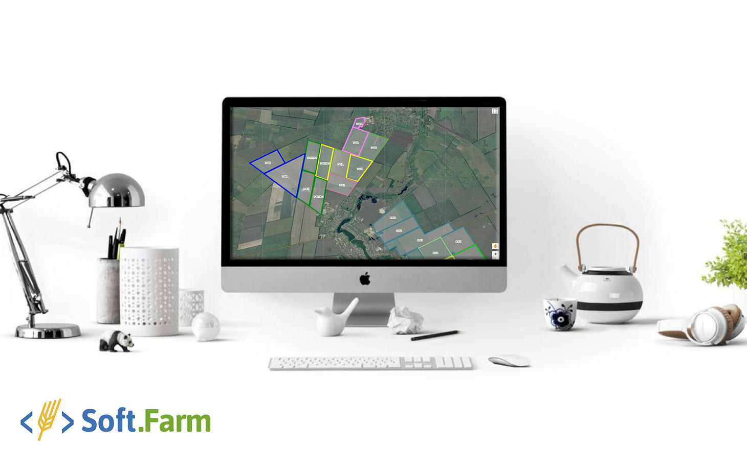
Accounting for a land bank should always be handled responsibly, because the discrepancy between the real area of the field and the data in the reporting of agricultural enterprises can lead to unplanned costs. Web service «Soft.Farm» allows you to create and store your electronic maps, as well as monitor the fieldwork.
At the moment, the easiest and most accessible way to measure fields is the mobile application and the online system "Soft.Farm". With their help, you just need to go around the field or define its territory on Google maps and the current values for the area of the field will be created in your profile. The error of the created electronic cards will be only 2-3%!
If you have elements of accurate farming, a more suitable choice of mapping the field will be the use of drones or satellite imagery. In addition, the use of drones is currently considered the most accurate measurement method. The error of such measurements reaches 1% and a pleasant bonus is that these cards can be entered into the "Soft.Farm" system.
Electronic maps of the field are made once and as your business grows, the map is supplemented with new objects, and becomes more detailed. Is it important for you to have up-to-date information on the area of your fields? Then make a choice in favor of creating electronic maps together with the team of the web service "Soft.Farm". Put your land bank in order at the modern level!
Back to news list