Seeding and yield maps on Digital Farming
18.08 2021

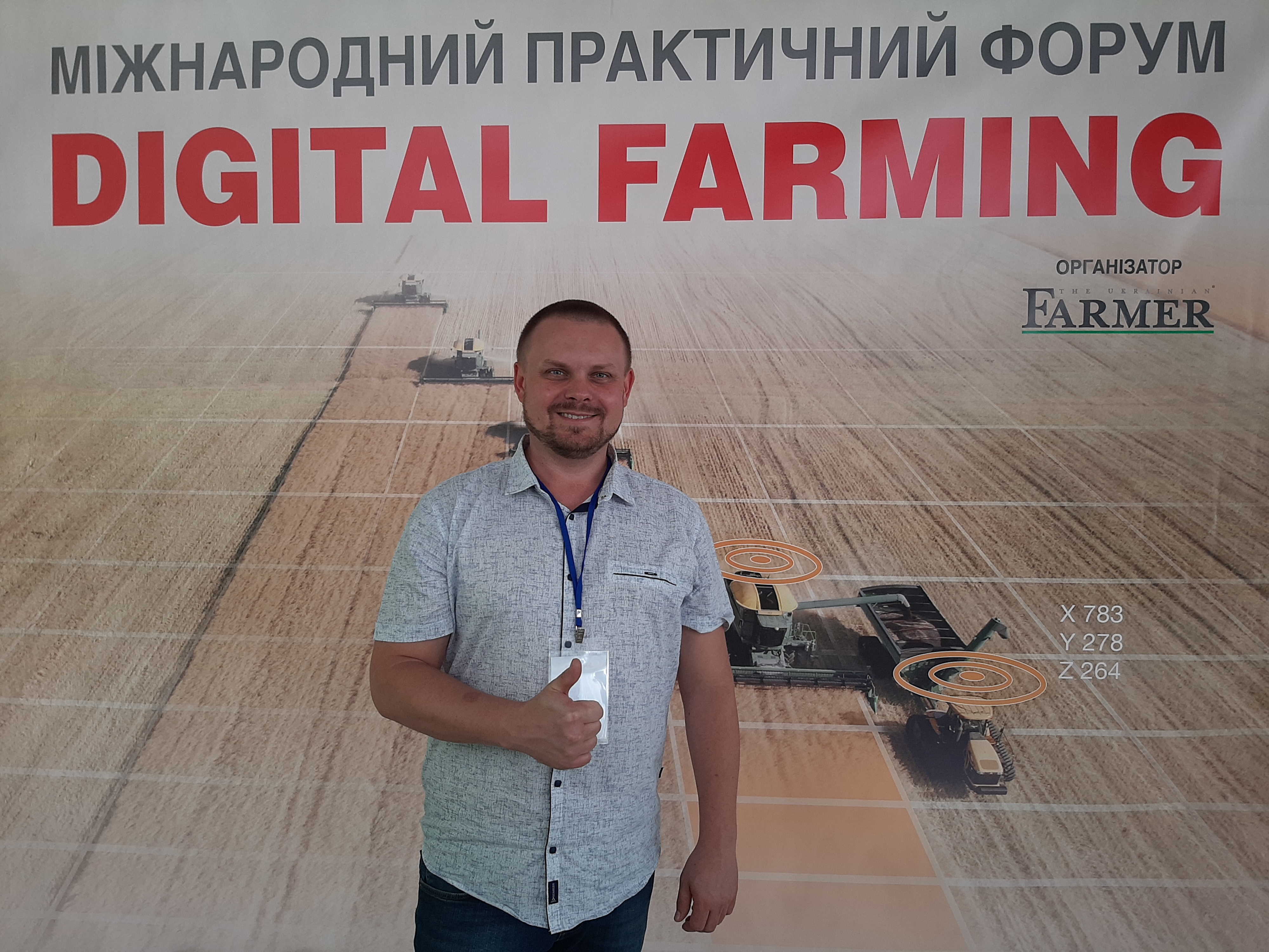
On August 17, 2021, Kiev hosted the Digital Farming International Practical Agro-Innovation Forum, dedicated to the effectiveness of modern digital technologies in agribusiness.
The Soft.Farm team also took an active part in this event and presented a single portal for processing field data, the functions and capabilities of which are relevant within the framework of the forum program. This digital platform allows you to collect information from various machines together and makes it possible to broadcast data from the world's largest agricultural equipment manufacturers such as Precision Planting, John Deere, Case IH and others. Thanks to it, from a large number of adjustable parameters, you can control the information that is most important for a particular farm and always know what is happening in the field.
To date, manufacturers and developers of software and equipment have come to a unified standard for data exchange in the ISO XML format, which is aimed at compatibility between software products and equipment of different companies, which makes it possible to comfortably use equipment from different manufacturers in one farm. Also, many manufacturers of agricultural machinery support Shape-files (shp), which are used to exchange data between information systems, and their structure is compatible with a wide range of software. The Soft.Farm web service works with files in these formats and has implemented the ability to work with data files in the .2020 format from a manufacturer such as Precision Planting. These files are specific to the 20|20 series on-board terminals, which provide control of various high-tech systems.
Within the framework of the forum, we demonstrated the possibility of uploading this data to our portal by transferring files from flash drives and visualized the available information in the form of cartograms. Not only singulation, seeding rate, grade rate or yield can be mapped, but also Precision Planting specific data can be mapped to assess the performance of each section of the planter and the overall unit in any process step. As a result, a complete report is generated on the amount of time and seed spent on work, the seeding rate, the presence of twins and gaps are monitored, and the sown area is calculated. The generated cartograms are available for subsequent analysis and comparison with yield maps, NDVI satellite images, results of soil chemical analysis, etc.
We would like to thank the organizers of the Digital Farming forum participants for opening up new prospects in cooperation, sharing practical cases of using digital technologies in the agricultural sector and interesting communication with like-minded people.
Back to news list