Seed map presentation for Precision Planting and demonstration of effective land bank analytics
23.02 2021
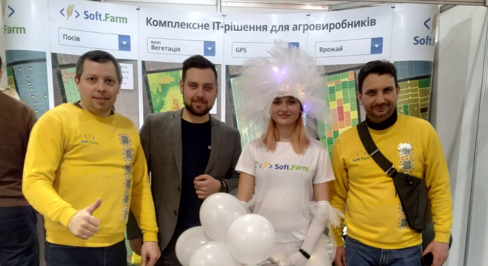
Despite the frost outside the window, spring has already arrived at the IEC, which does not depend on the weather. On the eve of the new agricultural season, the AgroSpring 2021 exhibition was held, aimed at promoting innovative solutions in agriculture. It brought together leading equipment suppliers, representatives of the manufacturing sector, managers and specialists of farms of various categories to effectively search for new partners and exchange modern experience.

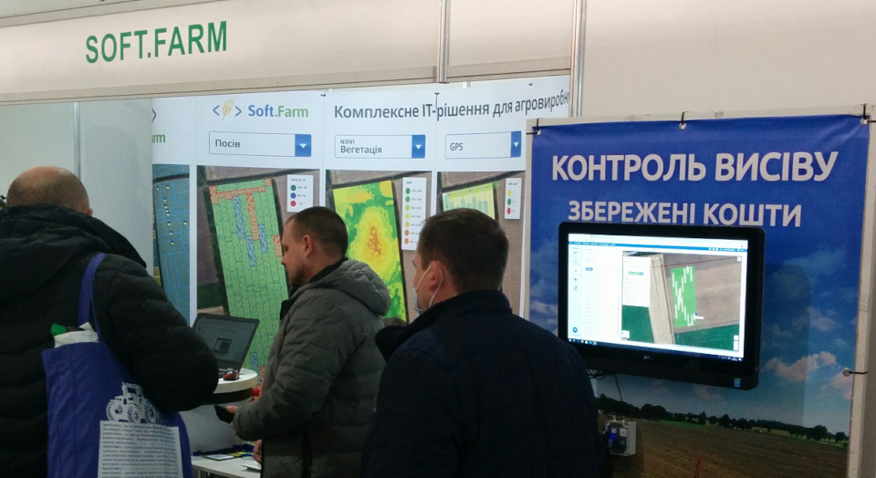
The Soft.Farm team took an active part in this event and demonstrated the work of such modules as cadastral registration of land plots, GPS monitoring of equipment, satellite images and the NDVI index, agricultural scouting, cartograms, seeding control and others, and also talked about the new functions of its web-service and mobile applications.
Within the framework of the exhibition, we talked about the new concept of displaying and closing field works «Agroplan», which presents a modern visualization of planning. The GPS monitoring module makes it possible to see in which field the equipment is operating, how many hectares are planned and how much has already been processed, how much fuel was consumed, whether the speed limit was observed when performing technological operations, etc., and using the automated workplace of the operator you can easily generate a complete report for the shift, on the basis of which you can create an order for field work. It displays all summary information, including the tracks of equipment used in the field.

Soft.Farm is the only information system on the Ukrainian market that offers the online seeding control monitoring function. With the correct setting, it indicates deviations arising during sowing (sifting, omissions, double seeds, faulty rows, emergency situations) at a time when timely measures can still be taken, and not after the crop has already germinated. While the work is in the field, the program collects data on all the operations performed and builds a detailed seeding map, thanks to which it is possible not only to track the singularity of seeding, but also to systematize the necessary information for the future seeding season. Seeding maps make it possible to predict yield, identify problem areas, compare the efficiency of seeders, seed varieties, and optimize fertilizer and seed consumption. We work with various integrators of seeding equipment control systems: Ukrainian companies «Intris Trade», LLC NPF «Monada» and the American manufacturer Precision Planting, which, using a 20 | 20 monitor, makes it possible to control the seeding speed, vacuum pressure, downforce of the seeder sections, control singulation process and much more.

Such events help agribusiness to develop and keep up with the times. The Soft.Farm team would like to thank the organizers, guests, users and partners for participating in the exhibition, visiting our stand and opening up new prospects for cooperation!
Back to news list