How to use open data from SLC and SRRR to manage a land bank
10.09 2020

The beginning of land relations lies in the determination and assignment of cadastral numbers to plots during state registration. The cadastral number is a key component in obtaining and transferring rights to use land, changing its purpose, and is also directly involved in concluding lease agreements. Thanks to it, you can identify the plot and determine its location.
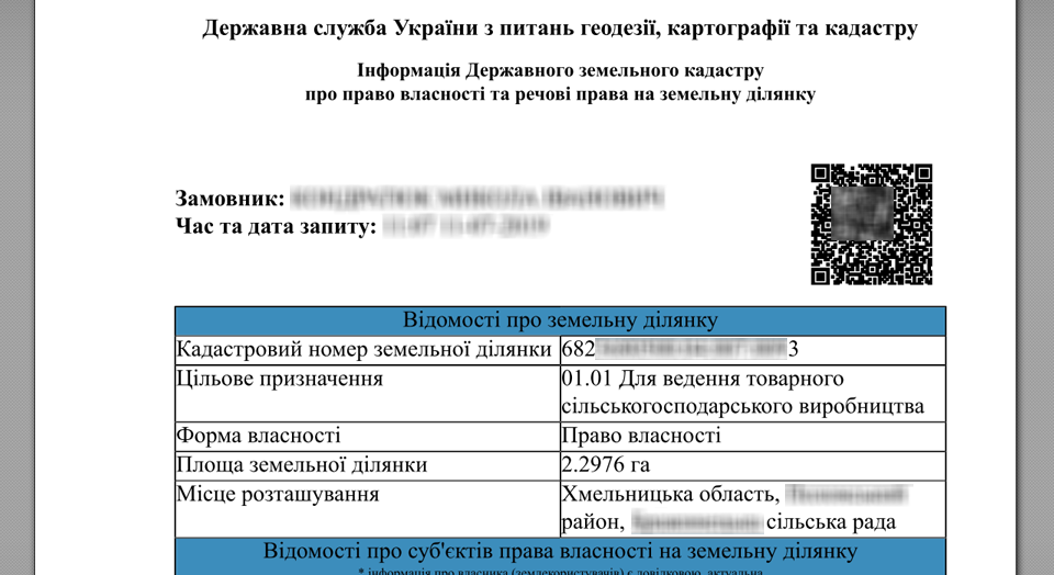
For many years now, the electronic public cadastral map of Ukraine allows you to receive information on the boundaries, sizes, location, form of ownership and purpose of any cadastral plot online, and also provides information about the owner and user of the land. Open access to the register of the State Land Cadastre strengthens control over the use and turnover of land in Ukraine, and obtaining the necessary information is not difficult, since it is enough to go through electronic identification and issue a request. The system automatically provides information on land ownership rights and the date of their acquisition. If, for the requested land plot, some columns contain the status «No information», this means that the current right to this land plot was registered before 01.01.2013, which means that information from the State Register of Rights was not received and, accordingly, was not entered into the SLC. After completing any transaction, the information will be updated. However, an agricultural enterprise, which has a land bank of a thousand or more hectares, will have to spend a lot of time to obtain data from the SLC. The functionality of the Soft.Farm web service has long been providing its users with the ability to upload this information to the system in one click!
However, information from the SLC may not be enough for effective land bank management. In this case, land users refer to the State Register of Real Rights to Real Estate, which, in accordance with the Law of Ukraine, is a unified state information system that ensures the processing, storage and provision of information on registered real rights to real estate and their encumbrances, as well as on objects and subjects of these rights. The SRRR contains data not only on tenants and landlords, but also on the expiration dates of the concluded lease agreements, as well as their types. You can submit a request for information on the website of the Ministry of Justice of Ukraine, and with the latest update of the system, the Soft.Farm team has implemented the ability to take data from this open source, automatically loading it into the program.
But that's not all. In addition to visualizing the farm fields and all cadastral plots located on the territory of the cultivated areas and beyond, structuring all lease agreements indicated on the map with certain colors and markers in accordance with their type, status, validity period, distribution, etc., schemes exchange of land plots and a system of operational reporting the Soft.Farm web service has a new function. If the agricultural enterprise already has extracts previously ordered from the SLC or SRRR, then now they can be loaded into the system all at once, and absolutely free!
The use of open data from the SLC and SRRR will help not only in managing the land bank, but will also be useful for checking counterparties in the implementation of various operations, in the work of journalists, notaries, lawyers, real estate agencies and other specialists. You can learn more about the new function by calling +38 066 885 63 70.
Back to news list