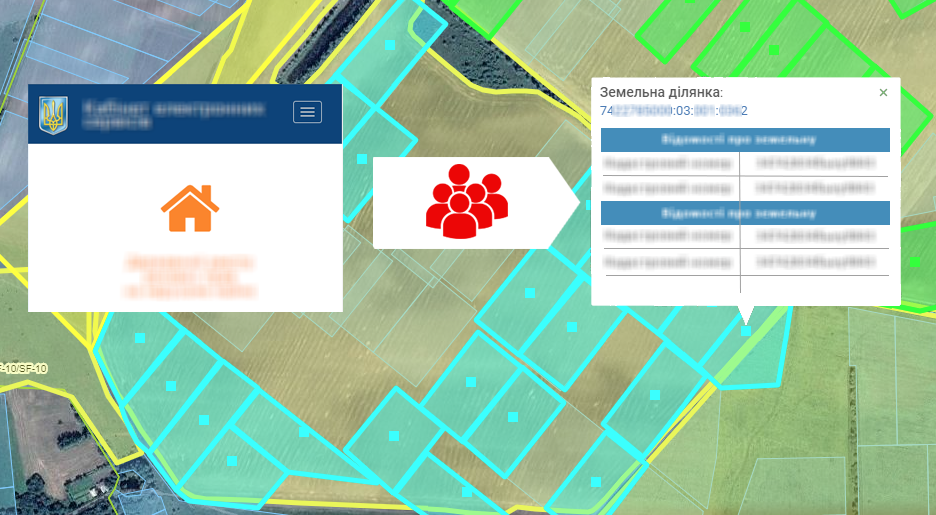
Automatic receipt of information from the registry on ownership
20.08 2019

Cadastral registration of a land bank is not an easy task. To help farmers, the Public Cadastral Map of Ukraine was created, the appearance of which was a significant achievement in the field of land relations and allowed to reduce the time for performing various operations with land plots, and the Soft.Farm team solved the problem of the long entry of documents into the system and implemented the function of easy and quick loading of cadastral data.
In addition to a convenient reporting and import system, Soft.Farm has the opportunity to receive information on property rights, which allows you to compare data in the registry and on paper and respond quickly to identified inconsistencies.
It is enough to circle the contours of your fields and after 2 days you will receive all the information about the cadastral plots within the field, namely:
• Cadastral number of the land plot;
• Cadastral area;
• Special purpose;
• Location, including village council;
• Data on the tenant, including the EDRPOU code;
• Data on the lessor, including name;
• The date of state registration of property rights;
• The number of the record of registration of ownership.
After receiving the information and including a layer with fields, you can take the first steps to the analysis of the land bank. On the cards “chess” will be revealed, as well as areas that belong to other tenants, units for which there are no documents on property rights or no information at all have been entered into the State Geocadastre. This makes it possible to timely solve the problems of land bank accounting and optimize its work as a whole.
Back to news list