Presentation of the system for planning field work and calculating the cultivated area according to GPS monitoring data
05.11 2020
The international agro-industrial exhibition «InterAGRO 2020» is over. The event was held in strict observance of anti-epidemic restrictive measures. During the three days of its work, visitors could not only watch and test all the latest novelties, but also actively participate in the business program, which included industry conferences and seminars.

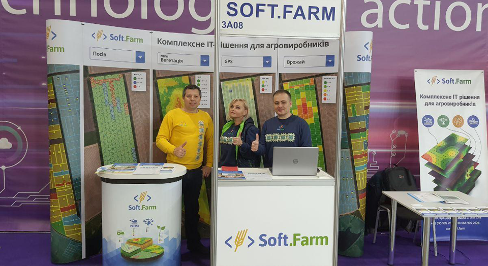
The specialized exposition of digital technologies and smart solutions in agribusiness «IT-Corner 2020», as always, was held in the open-space format. It included exclusive exhibitors' stands and test drive locations for innovative technologies. Within the framework of the exposition, the Soft.Farm team demonstrated the work of such modules as cadastral registration of land plots, GPS monitoring of equipment, satellite images and the NDVI index, agricultural scouting, cartograms, seeding control and others, and also spoke about the new function of the web service Agroplan, which provides a clear visualization of planned field work and automates their closure. It allows to control the performance of technological operations, to record possible deviations in the performance of work and eliminates forgetting to close.

At our stand, we showed the work of the Seeding Control module, the main purpose of which is to provide the farmer with control over the sowing campaign, as well as a clear registration of the operations performed and the resources expended. It allows you to track the movement of sowing equipment on the map online and monitor the current characteristics of seeding and fertilization. In addition, while the work is in the field, the system collects data on all the operations performed and builds a detailed seeding map, with which you can not only track the singularity of seeding, but also systematize the necessary information for the next seeding season.

The conference area, which was located in the center of the exposition, hosted the business forum «IT-Corner 2020: trends, technologies, IT solutions for agribusiness». Our speaker Vitalii Klymov made a presentation of new products in the service «Presentation of Soft.Farm software». The presentation was held within the framework of the «Innovative Sprint» session, which presented the systems of farm management as a tool for increasing the efficiency of agribusiness.
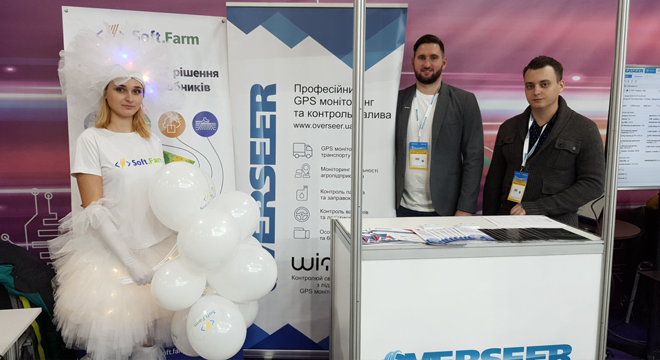
Agricultural exhibitions are not only image events, but also a kind of platforms for meetings and negotiations with partners and clients. Our team was happy to talk to users who are implementing the Soft.Farm system at their agricultural enterprises, and is also glad to cooperate with new clients. We are actively working to improve our service, the results of which we will definitely share in the next updates. We thank Overseer, our partner for the integrated implementation of GPS monitoring and fuel control systems, for cooperation and look forward to joint participation in future exhibitions.
Back to news list