Effective land analytics
03.02 2021
With the development of the latest technologies and the rapid digitalization of the land bank, cadastral accounting is moving online. In their work, agrarians use various land portals, web services and mobile applications, collect data from official electronic sources, etc.
The lifting of the moratorium on the sale of agricultural land opens up a large market of assets that can be interesting both for representatives of the agricultural sector and for investors. To carry out their activities, they use open data, which greatly helps to manage the land bank. At the same time, such information is useful not only for maintaining cadastral records — it is needed when checking counterparties during various operations, in the work of journalists, notaries, lawyers, real estate agencies and other specialists. However, data has to be obtained from disparate programs and collected together, which is not always possible to do quickly.
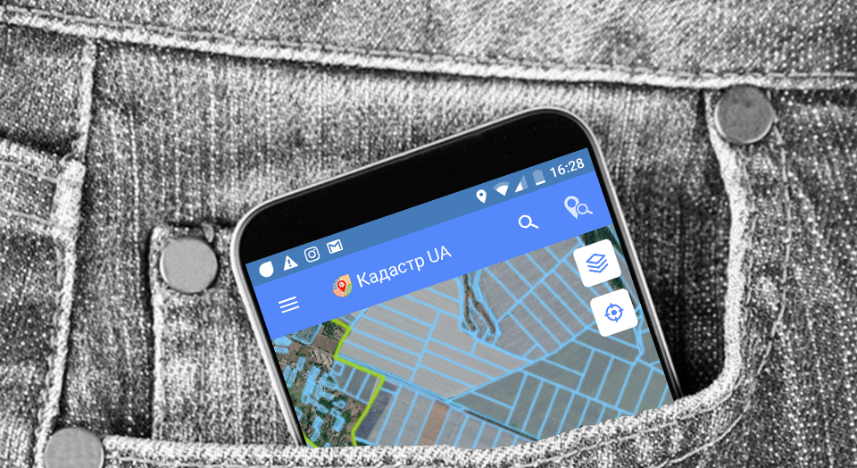
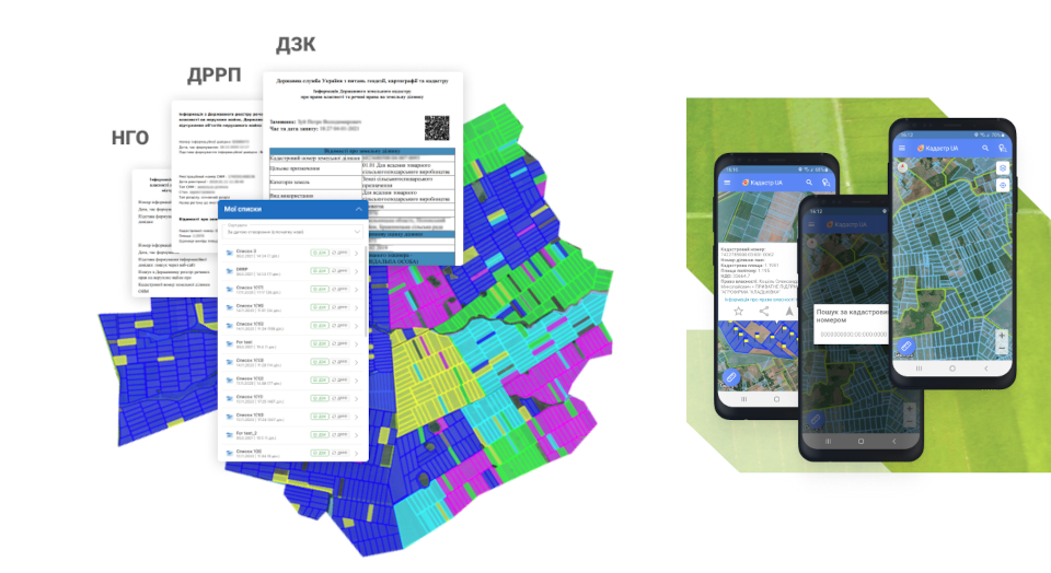
The mobile application «Cadastre UA» comes to the rescue. Its functionality opens access to data from the Public Cadastral Map of Ukraine, thanks to which it is possible to determine the location and boundaries of land plots on the map. You can search by the cadastral number or the name of the settlement; all successful viewing results are saved in the history on the mobile device. In the section of the menu for working with the area, it is possible to pave the way to the land plot and turn on navigation to quickly find it «in nature», as well as independently measure the actual area of shares and form their base, creating a land bank in KML format. You can record tracks by walking or detouring cadastral plots with a mobile application, as well as simply manually outline the boundaries of shares on the map, which allows you to compare the boundaries of fields of an agricultural enterprise with leased plots and conduct a qualitative analysis of land use. To obtain GPS coordinates, you can zoom in on the map and click on the desired point — a message will appear with data about the selected location, and when you click on any cadastral plot, information from the State Land Cadastre opens about the type of property, purpose and share area. When additional authorization is passed on the website of the SLC of Ukraine through an electronic signature, information on ownership and property rights becomes available.

However, data from the SLC may not be enough for high-quality work. In this case, land users refer to the State Register of Real Rights to Real Estate, which contains information not only about the land plot, tenants and lessors, but also about the expiration dates of the concluded lease agreements, as well as their types. We have good news: Soft.Farm has received official accreditation as a service, the users of which can now receive information from the SRRR directly in the mobile application! You do not need to authorize using an electronic digital signature, as well as add payment card numbers to your account — payment takes place through the Google Play service in one click. The extract from the Register can be viewed on the screen or downloaded to a mobile device in PDF format.

But this is not all the updates of «Cadastre UA» that we managed to prepare. Now the application has a layer «Land sale», which allows participants in the land market 24/7 using the Brok.land map to find and receive complete information about the plot for sale. Indicating the cadastral number gives its exact localization, and clicking on the link opens ads, photos and contacts of the seller. Thanks to this layer, which has synchronized all relevant data on auctions on the map, the land market of Ukraine is located on one map. You can see the area and configuration of the plot, its intended purpose, form of ownership, the presence of disputed territories, cadastre errors identified by the owners, the price of the object being sold, etc.

For a quick search, add the desired sites to the list of «favorites», they will be available for viewing even in offline mode. We have implemented the function of sending cadastral numbers and information about them using messengers, and in order to keep abreast of the latest changes regarding the activities of the cadastral service, we added the ability to read the news of the State Geocadastre directly from the mobile application. Data from «Cadastre UA» can be synchronized with the Soft.Farm web resource at any time and used in further work.
Back to news list